|
Andy's Great Willamette Paddle,
Part II
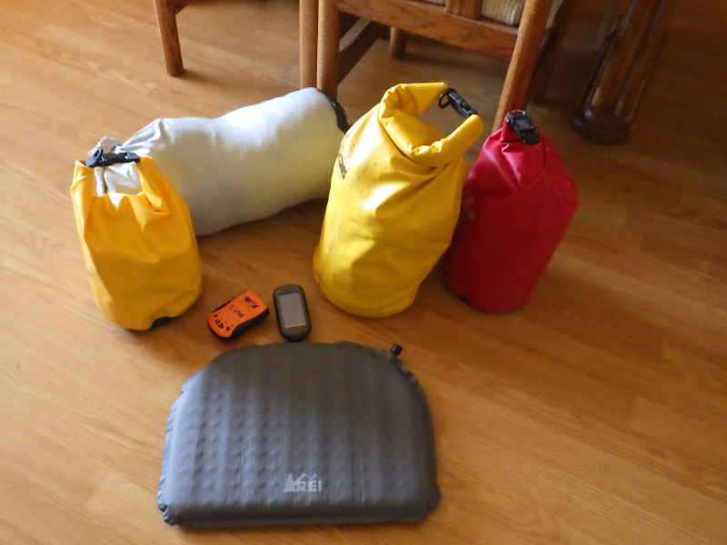
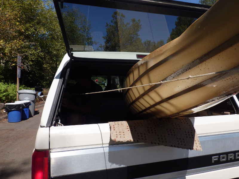
I'd quit my epic effort to paddle the length of the Willamette after creating a new crack in my @ss, but I still had the time off from work and I still had all the gear. I let things heal for a day, then decided to get back into it. To fix the weeping, I applied 3 more coats of exterior Spar Varnish. To fix my butt, I for an inflatable cushion. Another night at home and it was time to get started.
I was able to reduce my load by one drybag, which helps.
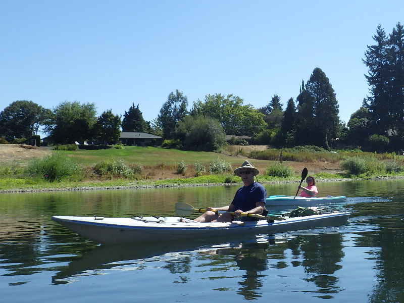
Simply the most important addition to my gear. Something so simple, yet so vital. I went with an inflatable because I wanted no direct contact between my butt-bones and the cockpit sole. Gel and foam pads are nice, but eventually, they compress. Inflatables are adjustable and pack away into very small spaces.
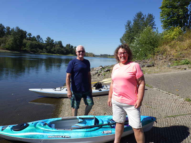
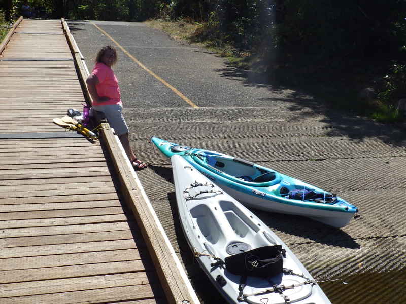
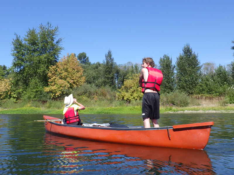
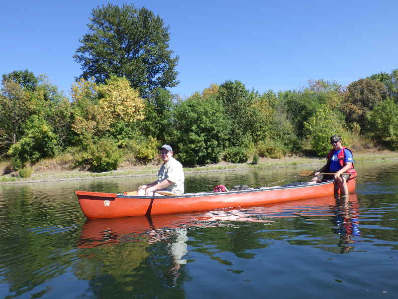
At the docks, we met Charles and Annette - recent immigrants from California - who were taking advantage of Oregon's natural splendors. (Note to Out of Towners: Oregon can be pretty, but we are full. There are other states in the union. Have you considered Texas or Montana?)
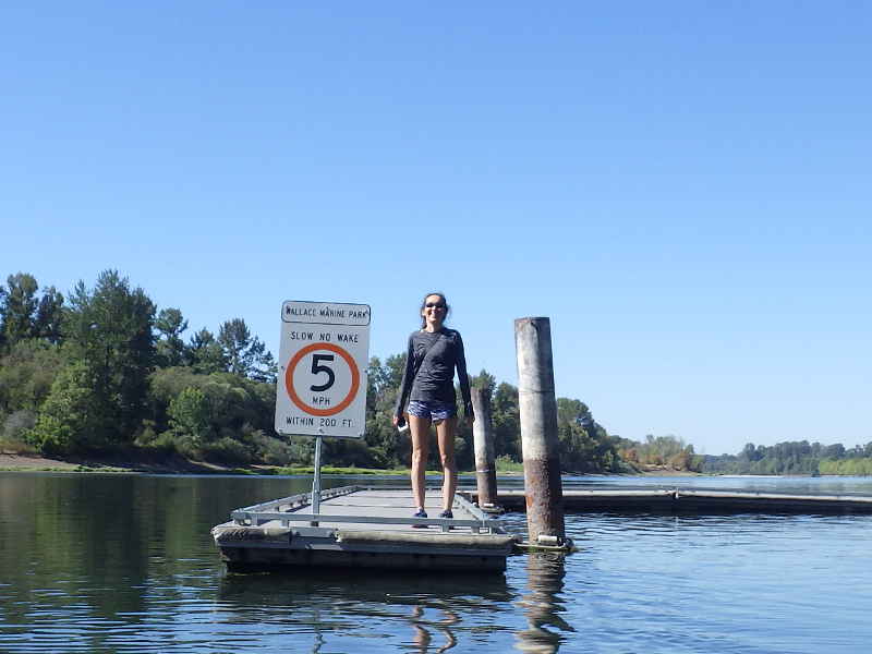
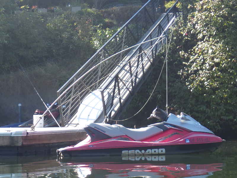
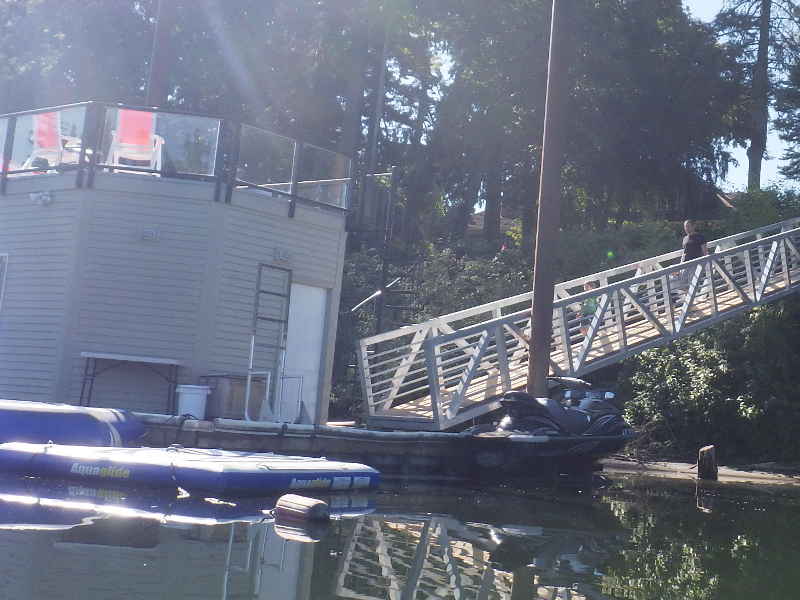
Keely doing the Widow's Walk.
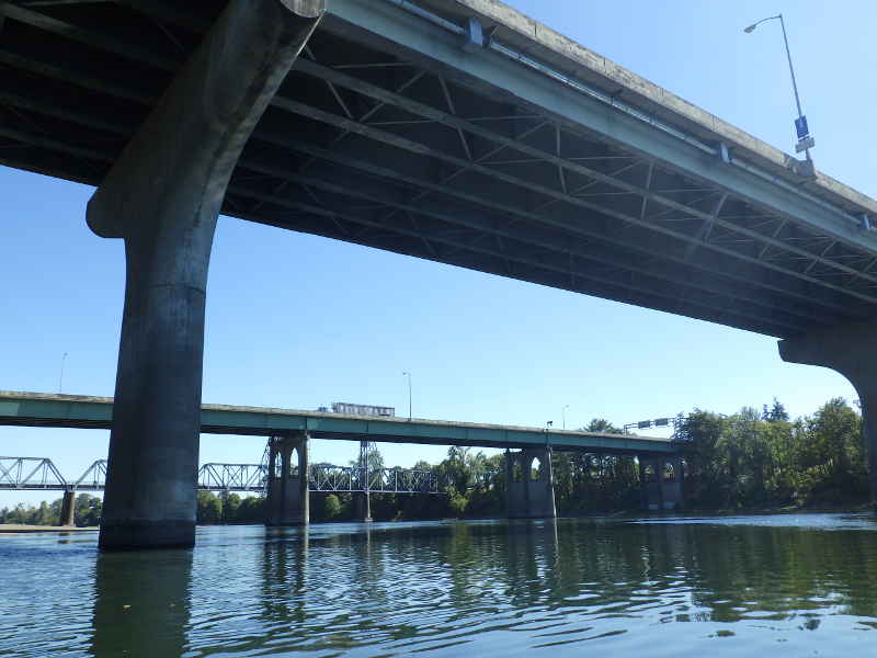
The Bridges of Salem.
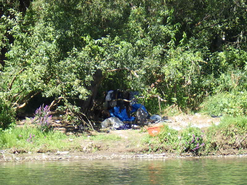
The area surrounding Wallace Marine Park is infested with hobos. I counted 8 visible camps and heard voices n at least two more. People gotta live, I just wish they were a little cleaner.
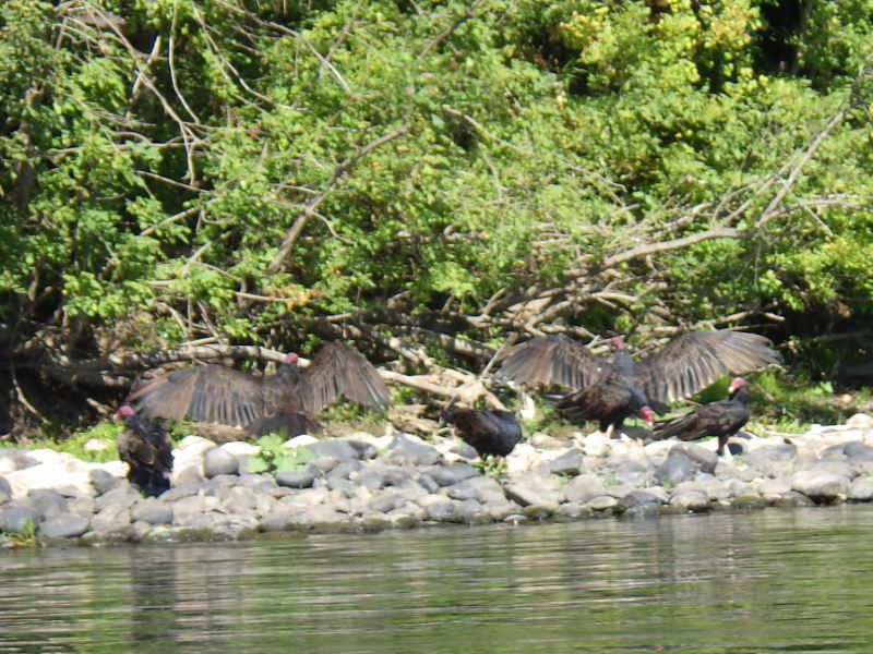
I'm calling this one a Wake of Vultures, and though I didn't actually see any of them eating, I *think* wikipedia backs me up on this: "A group of vultures is called a wake, committee, venue, kettle, or volt. The term kettle refers to vultures in flight, while committee, volt, and venue refer to vultures resting in trees. Wake is reserved for a group of vultures that are feeding."
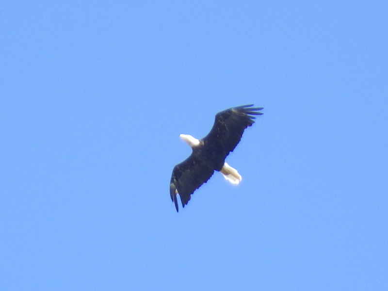
I saw this eagle fly over, and right after he flew over, an osprey took off out of a tree and chased after him. I've witnessed an osprey/eagle turf battle before, but they flew off over the trees so I don't know if there was a fight.
I caught up with Charles and Annette and we had a nice chat.
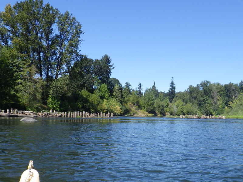
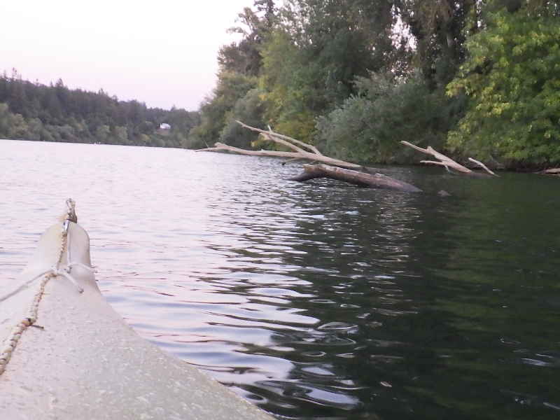
Ohh, a wing dam! They are usually put up to block entrance into dangerous areas. I wonder why this one was put up? Let's go find out.
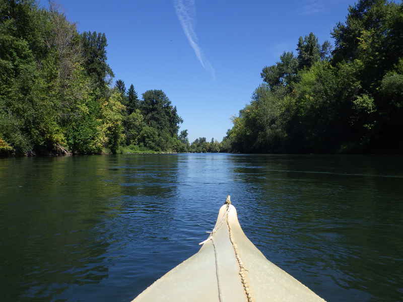
It's pretty back here!
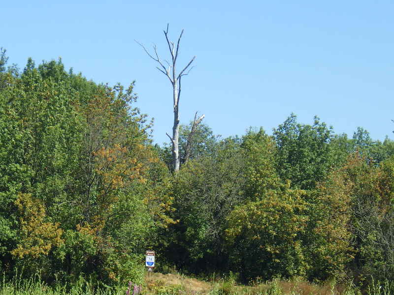
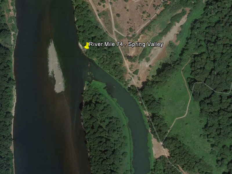
Back out on the river, I eventually came to the upper edge of Willamette Mission State Park, with the Spring Valley campsite at RM 74. When I worked for Oregon Youth Conservation Corps, this was one of the camps we'd use on our river trips.
That arm on the right is a slough - dead water and very warm, compared to the river. Paddle back to that big bare spot and set up. One of my favorite things was to wait until after dark and have the kids paddle up to the end of the slough. Paddling at night is a lot of fun - most times (foreshadowing? Maybe)
Time for a break at Wheatland Ferry Boat Ramp, where I met Charles and Annette again. Interesting note: Early in Oregon's history, there was very little cash money in the territory and people used to pay for things with quarts of wheat.
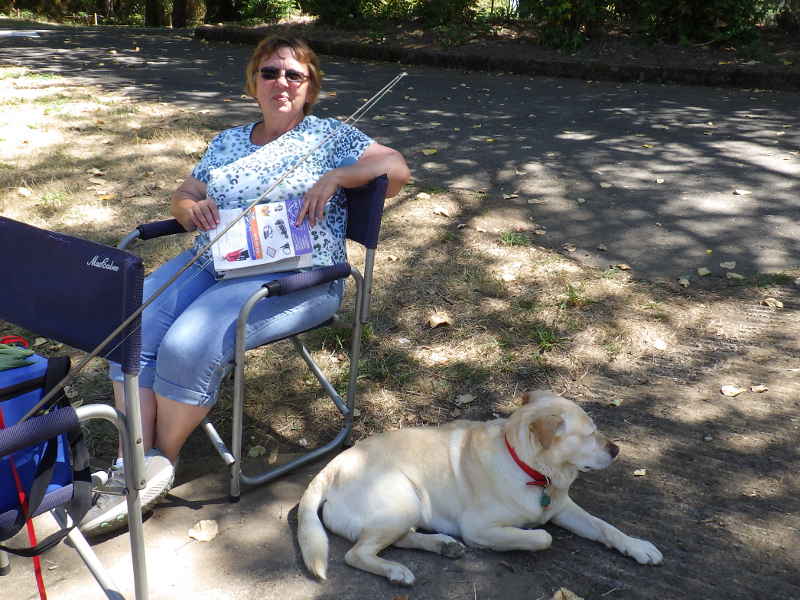
Up at the top of the ramp was Loren with her dog, Hailey. It was a lovely day to watch the river go by.
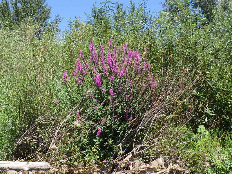
That's a pretty invasive species. How do I know it's invasive? Because it is pretty. Oregon's plants are white, yellow, or various shades of green (with some exceptions.) This is a new one for me - and I was seeing quite a bit of it.
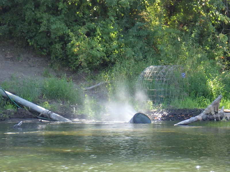
I don't know much about pumps, but that doesn't look right.
After a while, I came up on a group of Boy Scouts out on a 50 miler (seems a popular thing to do in summer.) I asked where they were stopping and the kid in the back said "Champoeg" which I was estimating to be about 20 miles down river.
I paddled up to the Scout Master's boat, and spoke with Dustin, asking him if they were really headed to Champoeg. He said "No way - there's no way we can make it that far" and I was relieved for two reasons: A) it was already after 2pm and they were a minimum of 5 hours away and 2) I was planning on stopping at Champoeg and didn't want to camp with a bunch of Boy Scouts.
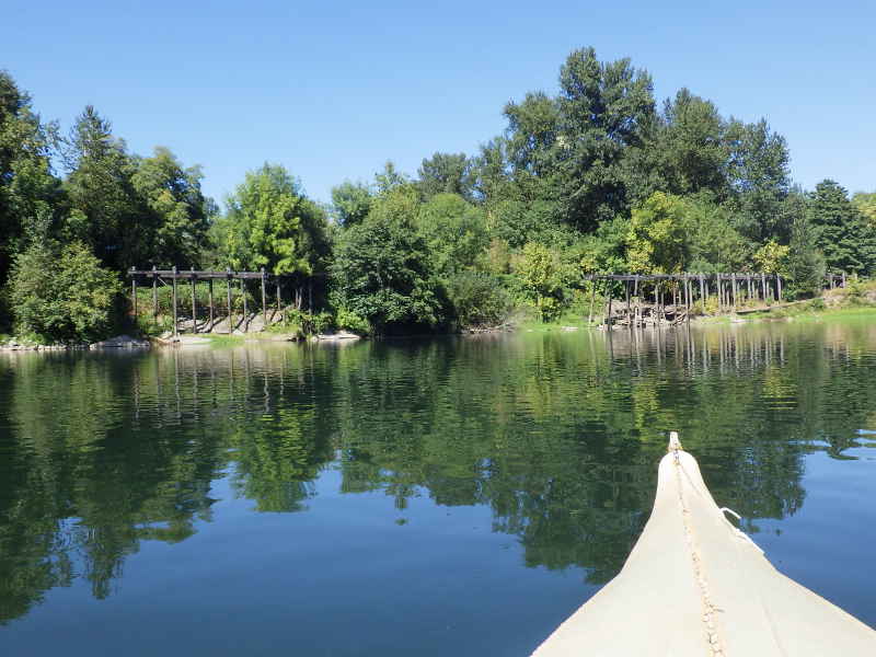
I like taking pictures of abandoned structures on the river. They were no less expensive to create "back in the day" than they are today, and I wonder what plans were laid and how that dream died.
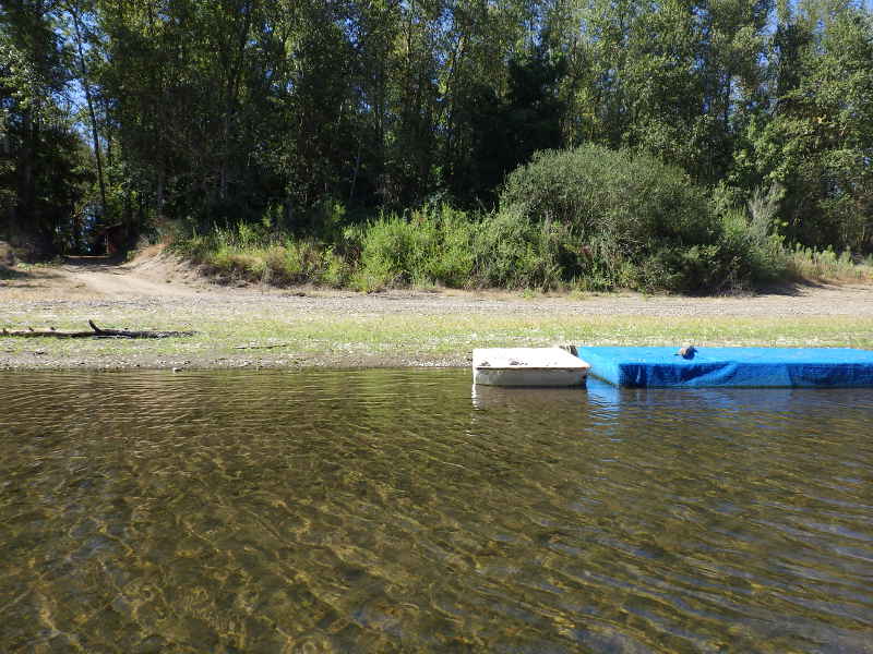
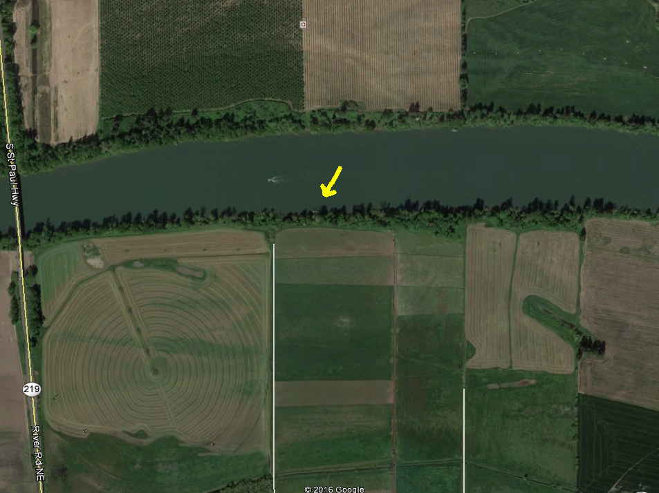
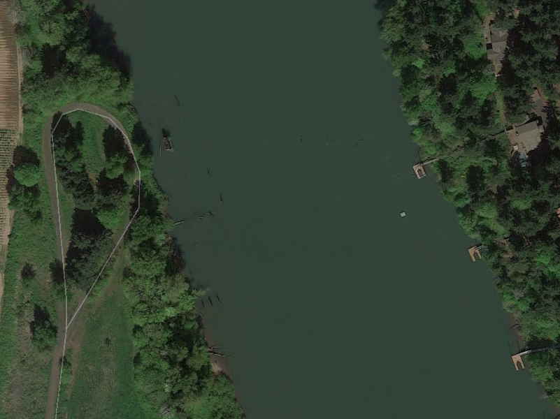
I saw these floats from quite a distance away but didn't know where I was. They obviously aren't "official" installations, but just back in the shadows of that road is a small building, possibly an outhouse, that did look like a government building. This is area is called Weston Bar and isn't listed as having any access, camping, or facilities. Curious.
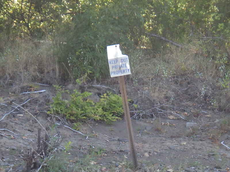
You didn't used to see these signs on the river.
San Salvador Park - just as skeevy as I remember it from 10 years ago. I just had lunch (FishPeople's Smoked Oyster and Bourbon Chowder - effing DELICIOUS) and moved on. If there is a place where bad things will happen, it is here. Even the Willamette River Trail guide says "This parks remote location is not ideal for Water Trail use at present."
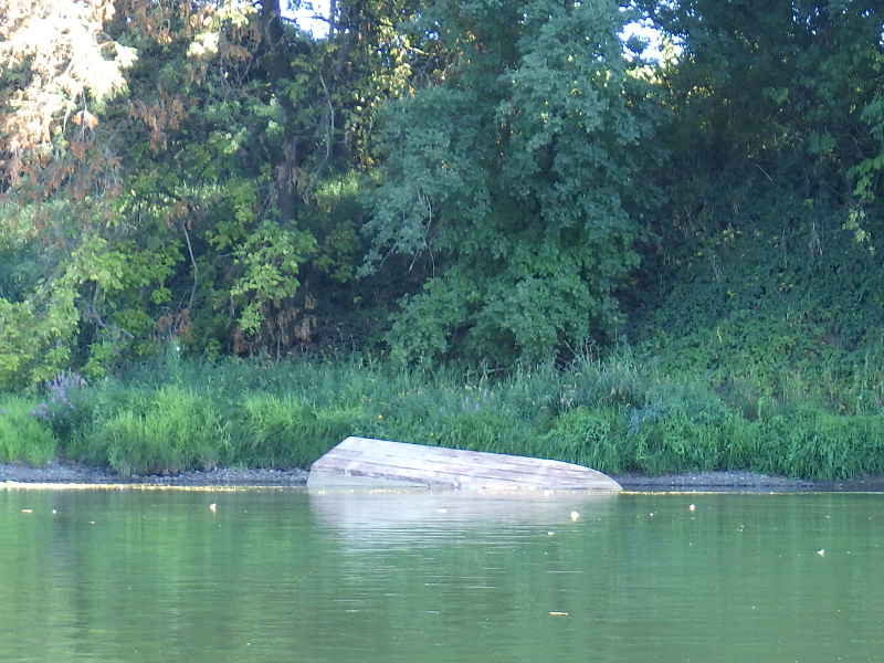
Just downriver is a nice jonboat upside down. I bet it could be salvaged easily.
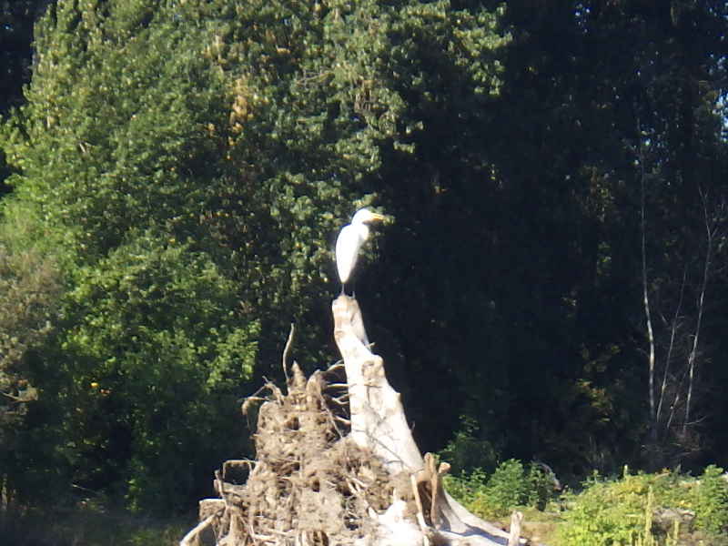
This is either an albino Great Blue Heron (doubtful) or a Great Egret (slightly less doubtful.) Either way, it's the first one I have ever seen and he is quite impressive.
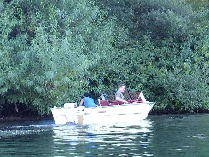
This guy was quite proud of his boat - he'd just finished restoring it and I could tell from the smile on his face and the tone of his voice that he was really proud of it. (to me, it was just an aluminum fishing boat - like that upside-down jonboat from earlier - but I didn't tell him that.)
River Mile 50 - Rodgers Landing, in Newberg. The current had slowed to a crawl so I was getting here as evening was coming on. I considered sleeping on the docks (as I have done before - actually, that whole write-up is kinda funny/tragic. You might want to take a look: Abusive Uncle Forces Nephews on Torturous River Trip June 20-21, 2003)
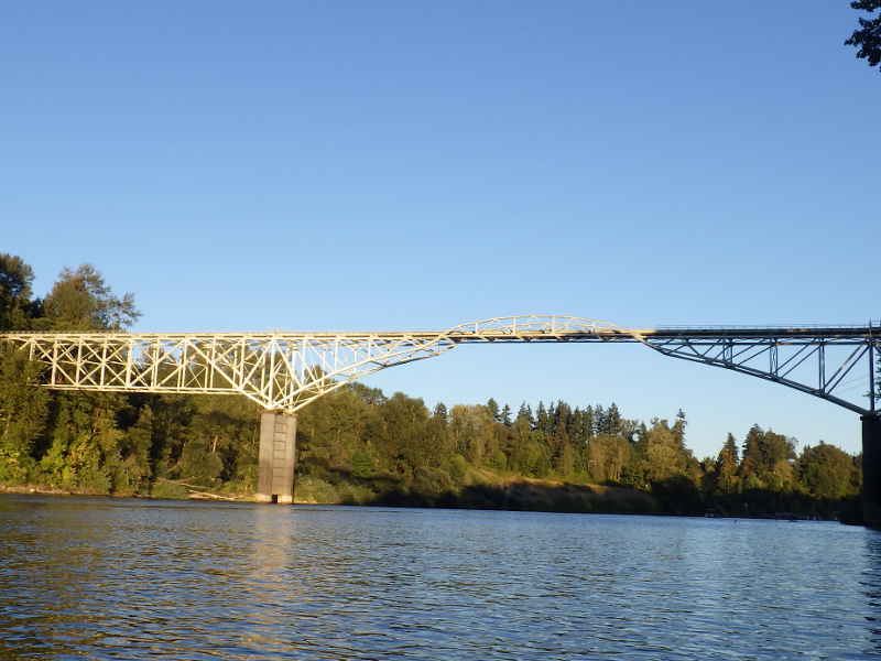
That's probably the prettiest bridge for a pipe I have ever seen.
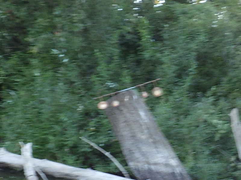
Sorry for the blurry pic, but I was a little shocked to see a set of targets set up on this stump. The river is easily 200 yards wide here, so what was being used to shoot at them? This part of the river is very busy.
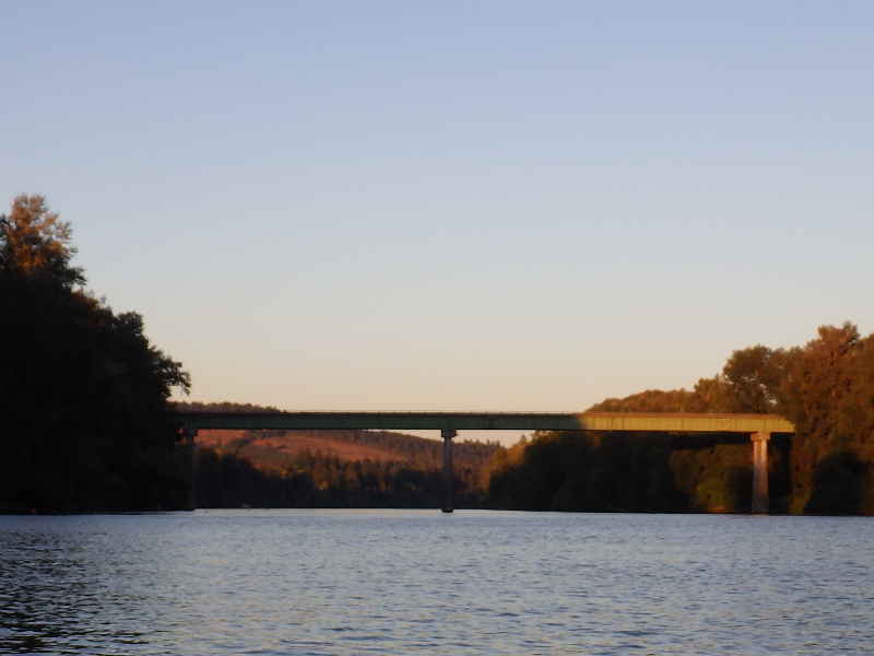
Highway 219 bridge in the setting sun.
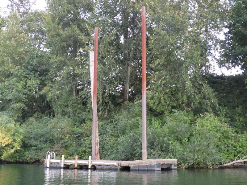
Always with an eye out for a place to stop, I saw this floating dock with no land access and no nearby house. That's a possibility for pirating.
It really is remote - there'd be almost no chance of getting rousted during the night. But I continued on.
As night was falling, the power boaters were rushing to Rodgers Landing to roost. I stayed over on the side of the river to make sure I was out of their way. There were plenty of hazards over here, they just weren't going 40mph.
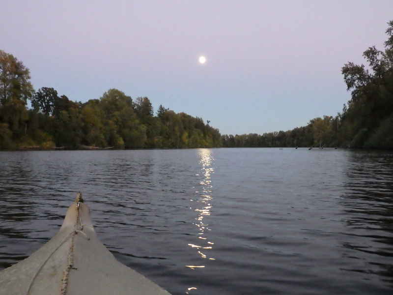
The moon at night, is big and bright!
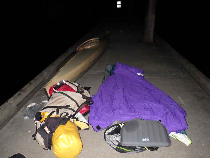
I finally made it to Champoeg with it's 150' long dock. As it is inside the park boundaries, there is little chance of getting molested during the night. I set up my camp in the middle of the floating dock, walked down to the far end, and peed into the river as loudly as I could to establish my dominance.
Bleah, that was a long day.
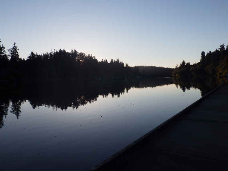
Morning came, as it always does, and I bounced out of my bag and got started. I had a long way to go today - 15 river miles to get to Willamette Falls and then 22 more to get through Portland and to the end at Kelley Point. Current was down to less than 1/2 mile per hour, so I wasn't getting any help.
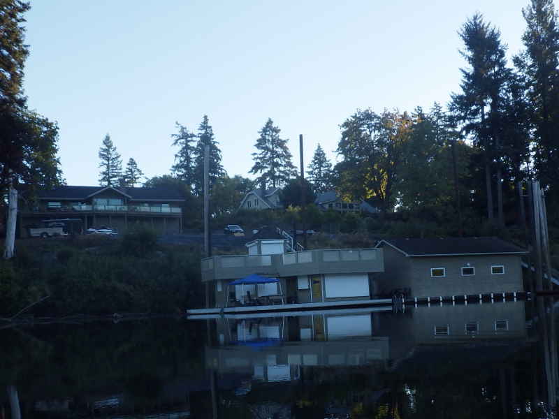
Lots of nice houses with nice boat houses on the river. I was surprised to see this one is simply a private residence, even though it has that huge parking lot.
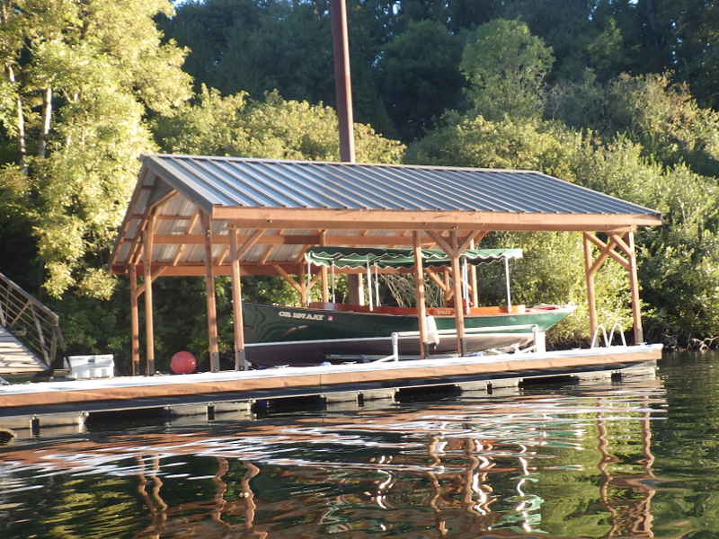
That guy has a PURTY boat.
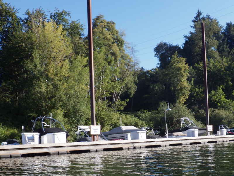
Private dock with lots of boats? Maybe a subdivision dock.
Yup. Home Owner's Association fees must be horrendous.
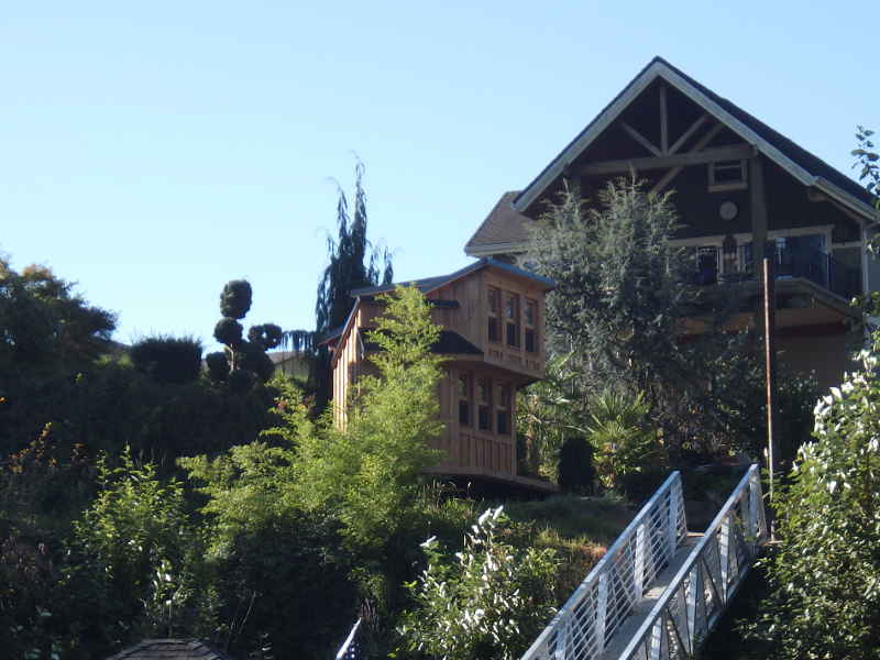
That's a play house. I wonder if they hire a midget to be the butler. I know that's not politically correct, but it was the first thought that crossed my mind.
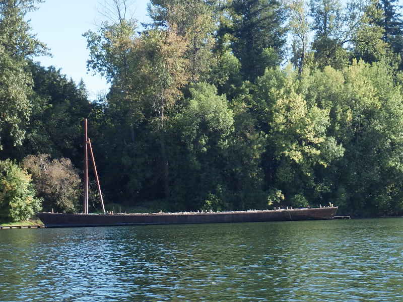
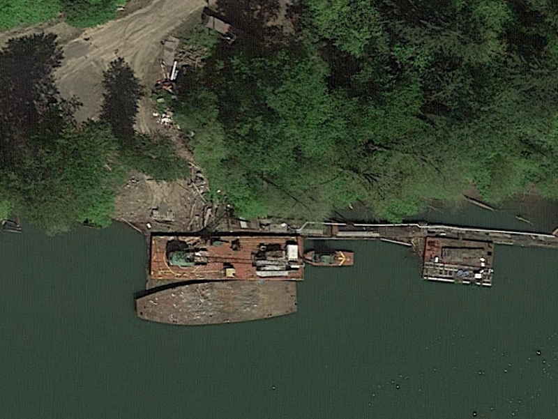
Across the way was an industrial site and they had this barge off to one side. That sure has pretty lines for a barge.
Google Earth view - I bet that barge was something, back in the day.
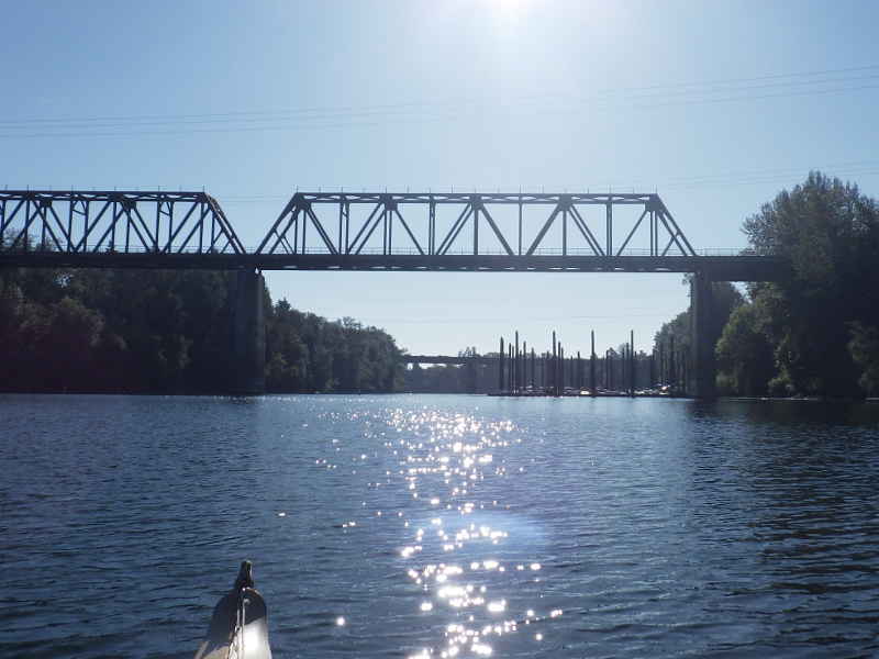
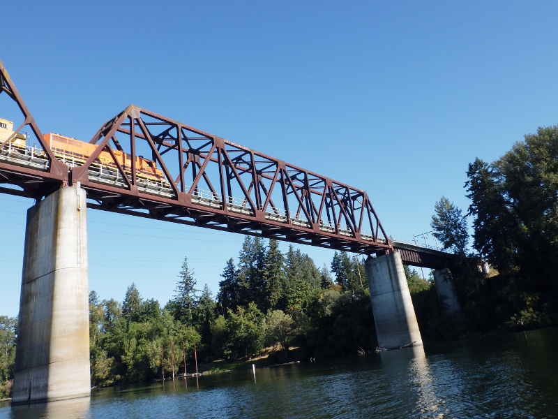
Railroad bridge and I-5 in the distance. Civilization is LOUD.
A train came over while I was under the bridge - it was a lot quieter than I expected, certainly quieter than the traffic on I-5.
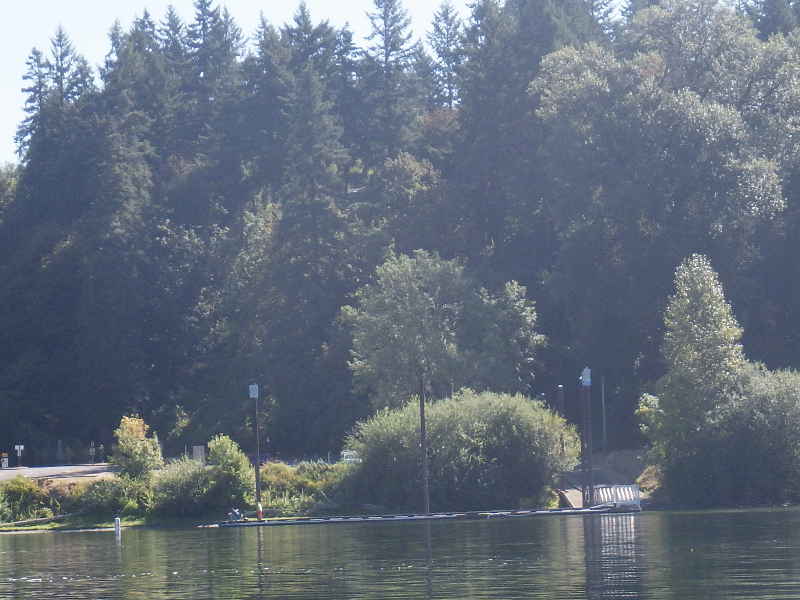
Boon's Ferry Boat Ramp. I've taken out there once before - it is a very nice place.
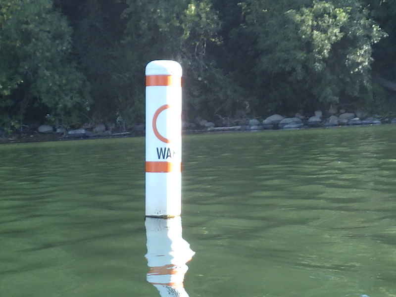
Wake buoy with no wake. It was slow going. I was barely making 3mph when I had planned on making 4.
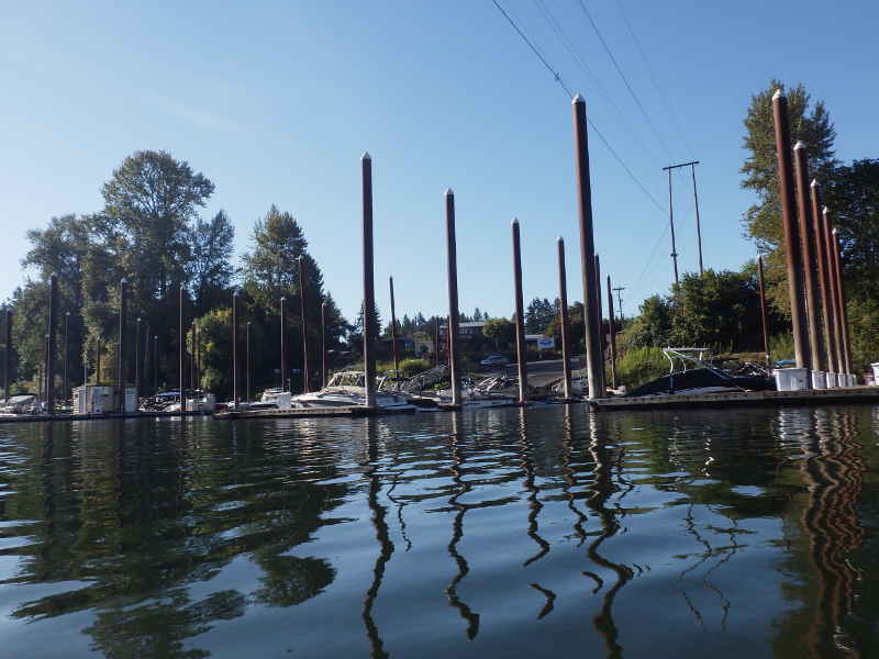
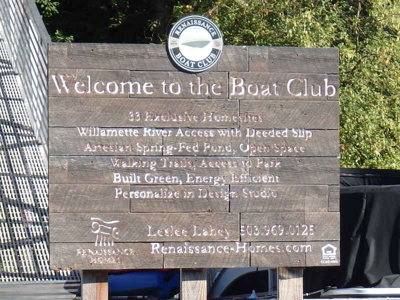
Another development for people who aren't me. Good for them, I suppose. If you are going to be rich, you might as well have a nice place to keep your nice boat.
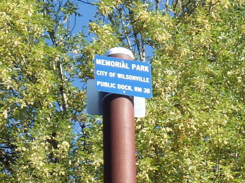
Wilsonville has a dock you can tie up at (and probably sleep on,
if you are sneaky.) I kept seeing private docks with what looked like (but were not) fishing poles. I finally saw the use: Jetski leashes.
Ohh, I hope that isn't someone's bikini bottoms, left out to dry.
Of ALL the private docks I saw along the river, this was the first time I saw anyone on one. This guy and his two kids - and they were visiting from out of town.
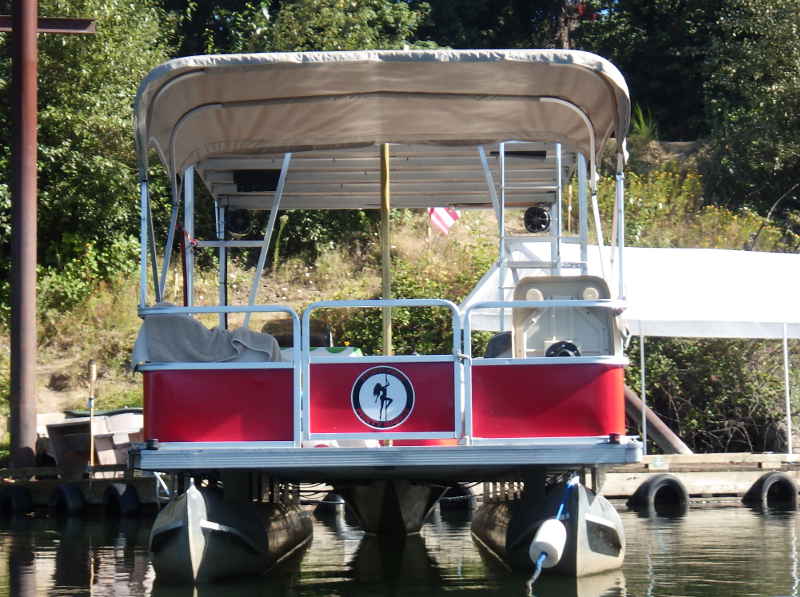
Oh, Jebus Crisco! A party barge with an actual stripper pole? And decals showing it is a stripper pole boat? Seriously? Who let's their spouse buy one of these?
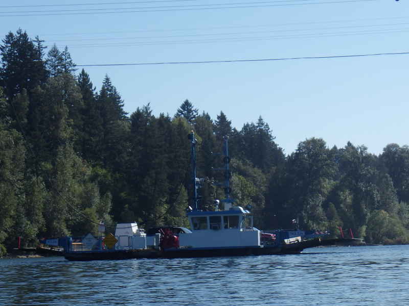
The Canby ferry - M J Lee. I never knew this existed until today. Will wonders never cease?
Hebb Park - another place to get on or off the water.
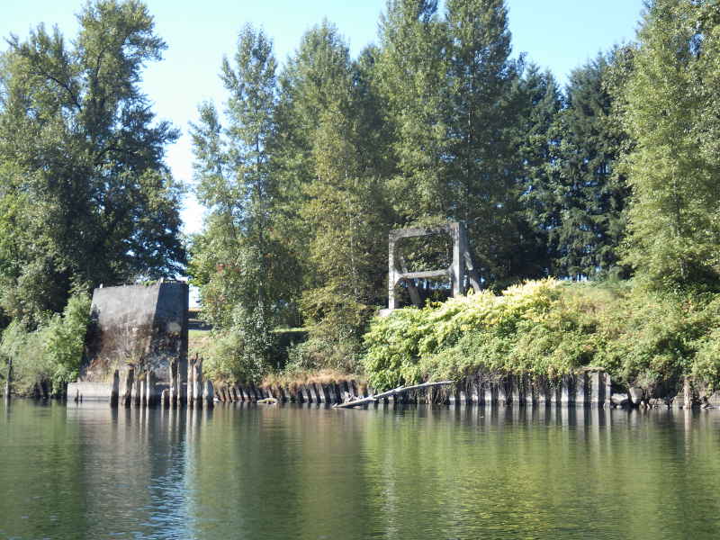
Remember how I said I like ruins? Well, this must have been EXPENSIVE. I wonder what it was? There is no matching set on the other side.
Look how far away from everything it is - it even had a turnaround road to it. Curiouser and curiouser, as Alice was wont to say. (yes, that is the correct usage of 'wont' - I looked it up)
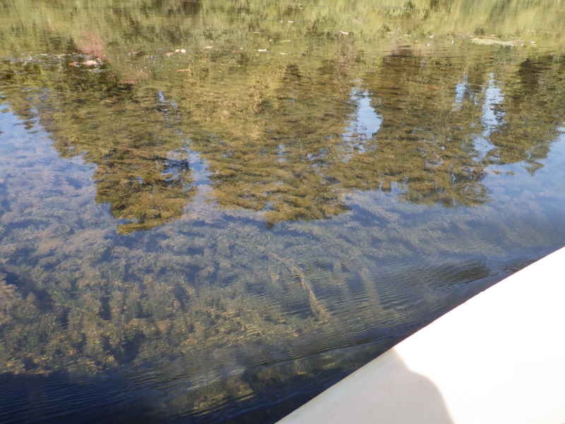
As I rounded the final "big bend" on the river, there were vast swaths of milifoil (Myriophyllum) choking the river. Back east (beyond Gresham, I assume) they tried controlling this stuff naturally by importing a fish from Asia that eats it, Grass Carp. Great idea, but immature Grass Carp are indistinguishable from Asian Silver Carp, aka: Flying Carp - those fish that leap out of the water when startled by boat motors and jetskis - so some of them got imported, too.
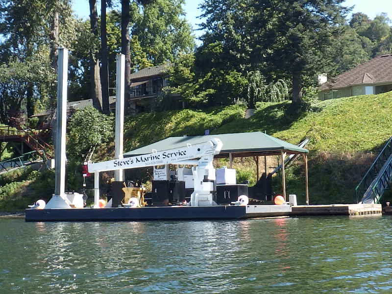
Steve appears to be the guy that sets up al those private docks I've been seeing.
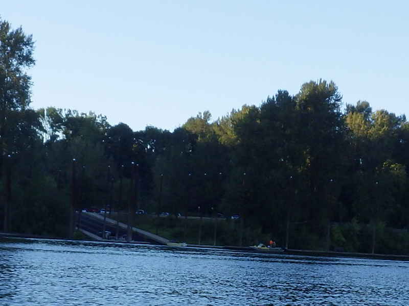
As I neared by pull-out point, I ran into a flotilla of people from Oregon Ocean Paddling Society (OOPS.) I was sore and grumpy by the time I met them, so wasn't too friendly. Sorry, guys.
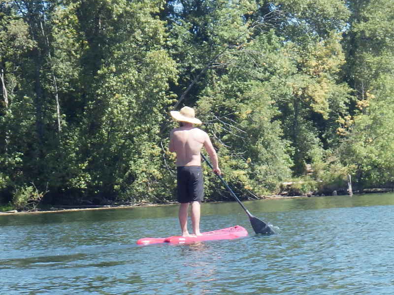
"Nice paddle board." "Thanks! I just got it." I was going to ask why he wasn't wearing a life jacket, but I am sure his answer would have been "I used to be a Coast Guard Rescue Swimmer and 6-time Olympian in free diving. I know how to swim" so I just wished him a nice day and continued to Bernert Landing, the last pull out spot on the Willamette before you die from going over the falls.
It'd taken me over 5 hours of relentless paddling to get here, and it was another 22 miles to Kelly Point from Clackamette Park. I didn't want to paddle for 7 more hours. I called a friend for extraction.
That's the worst picture I could have possibly taken of my friend, Hal, who came all the way from Salem to pick me up and take me home. Such a great guy and this is what he gets. Sorry, Hal, and thanks for the help. That's it - my epic run of 154 miles on the Willamette Maybe I'll try it again. Maybe I'll figure something else out. Maybe I'll get a powerboat. Who knows what the future might bring? .
|